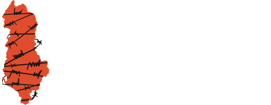
The Map Albania Must Have
For the irredeemable mark that the communist dictatorship left on the Albanian society and history, Albania unquestionably needs a Memory Map, which can now be found on this website in the most practical version of a digital map possible. Through this map, the Kujto Foundation, with the support of KAS Albania, fulfils one of its purposes to present data on crimes and victims of communism in a practical, interactive manner accessible by everyone.
Symbols representing Prisons, Temporary Labor Camps and Internment Sites are presented on the geographic map of Albania. We wish to highlight that we have prioritized geographic markers since the presentation is laid out on a map. As such, although, during the ‘50s, Albania saw the creation of Reeducation Units (where prisoners would be moved from one construction site to another) that were identified by numbers, the Memory Map shows the names of the sites by their locations instead, since the official numerical name means little to the public.
The Prisons category includes Isolation Sites, the ‘classical prisons’ – where prisoners did not work outside – and Prison Camps, the permanent stations of Labor Units, which were mainly built close to the mines.
In the Temporary Labor Camps category, there are the First Camps of the communist period, which were prior to the creation of Reeducation Units and Labor Units. These were temporary stations of the period of Reeducation Units, where prisoners would work in the construction of factories, apartment blocks, airports, etc.
Administratively speaking, there are cases like Camp No. 2, which changed its designation to Unit No. 303, therefore the two being one and the same. In this particular case, the Unit’s prisoners firstly worked in Peqin for a brief period and were then settled permanently in Spaç. Nevertheless, these two punishment sites are placed in different categories: Peqin being one of the First Camps among the Temporary Labor Camps; and Spaç being a Prison Camp. The same criterion was applied to each case with similar circumstances.
The third category is Internment Sites, described geographically rather than by their official designation ‘Internment Site, which at times replaced ‘Internment Camp.’ This category includes the Closed Camps of the first years, which were surrounded by barbed-wire fences, and the Open Camps, where prisoners were interned to after the formers’ closure.
The Memory Map also presents Documents and Testimonies of prisoners and the interned to provide as accurate and vivid a picture as possible for these punishment sites.
The data on Prisons, Labor Camps and Internment Sites were collected from the Archive of the Ministry of Internal Affairs; studies carried out on the subject so far, where we would like to mention researcher Kastriot Dervishi; publications of the Albanian Institute of Studies on Crimes and Consequences of Communism; publishing houses with authors who were former political prisoners; and multiple testimonies collected by Kujto.al during these years.
This is an ongoing project, which aims to regularly enrich the content and modernize the appearance of the Memory Map, the map Albania must have.
Project Manager: Blerina Gjoka
Journalist: Arta Çano
Scientific Researcher: Admirina Peçi
Translation into English: Kelvin Zifla
